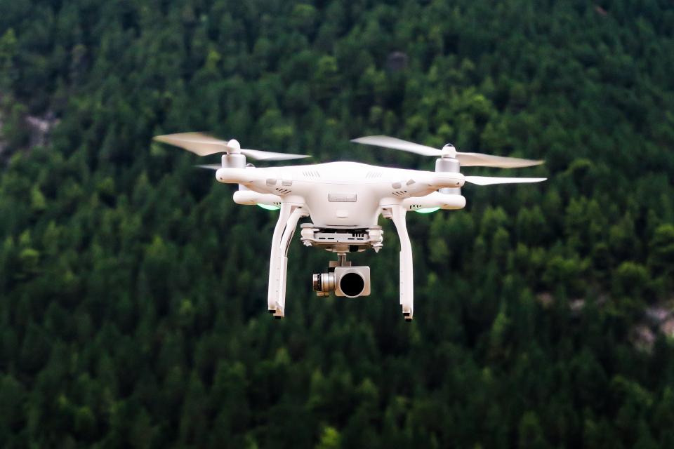
Developed a drone data platform designed to help businesses collect, manage, and interpret drone data. The company’s software offers orthorectified maps, topographic modeling with DSMs and DTMs, crop health visualizations, 3D models, and points clouds as well as real-time 2D live maps for immediate analysis, enabling clients to automate flight safety checks, workflows, real-time mapping, and data processing.
DroneDeploy’s software works with drones from Mavic and other makers, enabling them to set up autonomous inspection and mapping missions of construction sites, energy infrastructure, and agricultural fields.
Its 360 Walkthrough functionality combines footage from drones, aerial cameras, and 360-cameras on the ground to provide digital reconstruction of sites from any angle. In 2021, DroneDeploy launched a partnership with agriscience company Corteva, which operates fleets of crop monitoring drones, to develop a tool called Stand Assessment, which uses data from drones to automate crop monitoring and planning.
According to fastcompany.com. Source of photo: internet


